Did you know drone cameras can play a key role in conservation? Yarrow Robertson explains how the Orangutan Foundation is using tech to protect prime orangutan habitat in Indonesia.
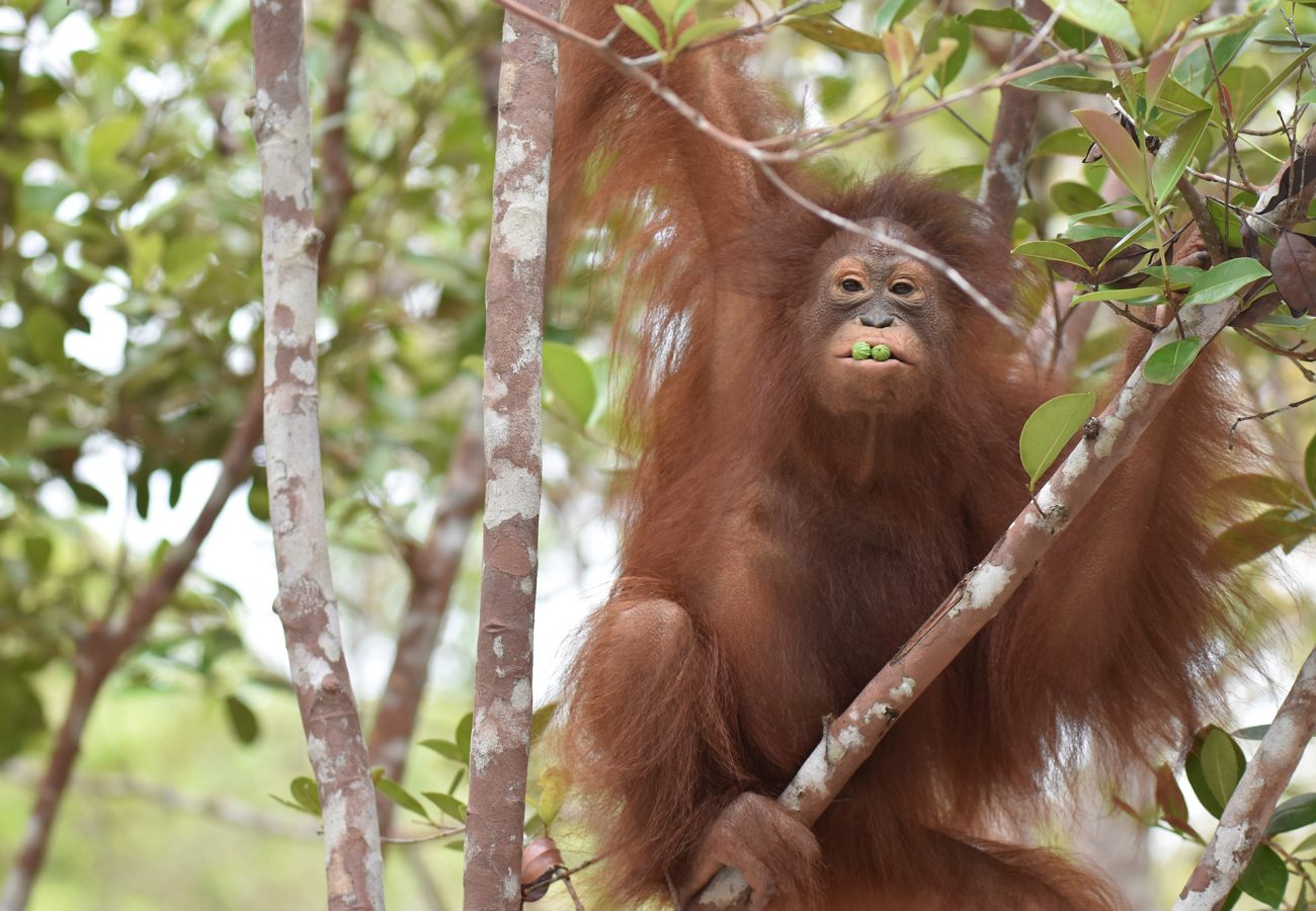
Timtom (c) Orangutan Foundation
The biggest threat to orangutans comes from degradation of their tropical forest habitats, not least due to illegal logging – the unlawful cutting down of trees. Now, with Born Free support, drones are being used to help protect key orangutan forests in Indonesia.
Alongside their successful rescue and rehabilitation work, the Orangutan Foundation – supported by Born Free since 2018, is working hard to protect forest habitats in Central Kalimantan, Borneo, Indonesia. These forests are home to important wild orangutan populations, but are under threat due to human activities.
Sadly, the degradation of tropical forests comes in many forms – from forest fires, encroachment, illegal logging, to habitat fragmentation. As adult female orangutans only give birth once every eight years or so, protecting their forest habitats is essential to help these Critically Endangered orange apes survive.
But, with limited resources and funds, conservationists must work efficiently. So how can this be best done to protect orangutans and safeguard their forest home? Yarrow Robertson, the Director of Indonesian Programmes for the Orangutan Foundation, explains more.
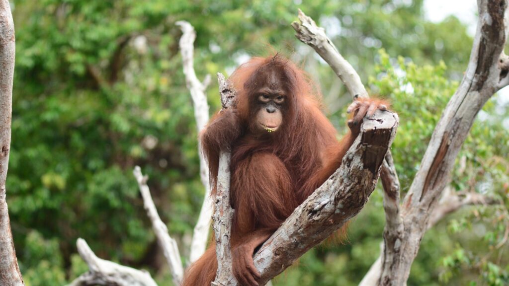
(c) Orangutan Foundation
How does forest degradation impact orangutans?
Let’s put the problem into context. An average forest habitat in Central Kalimantan can support a density of one to two orangutans per square kilometre. However, when the forest is degraded, the densities are much lower. A degraded forest is a much tougher environment for orangutans to live in and is often unable to support enough orangutans to function as a viable population. For a minimum viable population of 500 orangutans, they need about 333 square kilometres of good forest habitat. To ensure they really thrive in the long-term, we need at least 1,000 individuals in 666 square kilometres of habitat.
What is the Orangutan Foundation doing to protect the forest?
We have a team of dedicated rangers based at guard posts around the forest under our Protection Manager, Jakir Jakirudin. They work in close collaboration with conservation agencies from the Ministry of Forestry.

Jakir Jakirudin, Orangutan Foundation Protection Manager
The first step to protecting the forest from degradation and illegal logging is to monitor it. So how big a task is that? In good quality forest, there are about 1,500 trees per hectare, including smaller saplings. So, our target minimum 333–666 square kilometres of forest to host a viable orangutan population, would have about 50–100 million trees!
So, the crux of the problem is, if we put ‘boots on the ground’, we would need a lot of boots to do a lot of walking to monitor all those trees and prevent illegal loggers from destroying orangutan habitat! On the ground we can set up tall watch towers around the periphery, and establish guard posts at known logging access points. However, it is easy for loggers to circumvent guard posts by sneaking in one or two kilometres further away. They are also streetwise and have learned to muffle the roar of chainsaws by attaching flexible hosing to the outlet, with the end in a pool or river.
Nevertheless, skilled rangers patrolling the periphery to detect recent incursions or timber extractions are crucial. Just like tracking lion spoor, the rangers can detect where logs or timber beams have been pulled out by the flattened ground vegetation. Whilst in degraded areas, they can ‘read’ where vehicles have entered from tyre tracks, and if fresh with no exit tracks. Their work can be enhanced by the use of camera traps, but hunters are now learning to remove the SD cards (a removable memory card that stores and transfers digital data).
How could drones help and are there limitations to using them?
Over the last few years, the availability of drones has allowed the rangers to conduct aerial monitoring of the forest. This allows them to monitor the state of the forest in real time by using the drones’ video cameras flying low over the top of the forest – hovering like a helicopter when anything interesting or suspicious is detected. This also generates evidence for follow-up enforcement operations by Forestry Police.
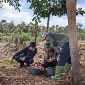
Iqbal Tawakkal, Orangutan Foundation drone operator (centre), with colleagues
There are always a few technical issues to overcome when flying drones: the batteries don’t last long, which limits flying time and distance monitored; and they can often overheat or explode. Furthermore, navigation is dangerous in rainy or windy conditions. Initial set up involves the pilots taking registered courses to get licensed, registering the drone and flight routes with the authorities through an approved flight plan. So, it is still a complicated process. This is all handled by our GIS Technician, Iqbal Tawakkal, who conducts the flights in collaboration with the related government conservation agency.
The results are amazing, but since the area of coverage is limited, their use is mainly guided by the needs of the patrol teams. If there are gaps in the canopy from felling, they can detect cut timber stacks and even hunters’ camps. Generally, lift-off and landing are from open areas. Usually, with these smaller drones, it is kept within visible sight, as the chances of it being lost are far greater if it is lost from sight. In riverine forest, it can also be launched from a boat if there is a clear flight path above and used to take panoramas.
What are your plans for the future?
Areas of significant encroachment can be identified on the satellite imagery when images are compared to previous analyses. Hopefully, in the future, this can be done using cheaper automated software programmes without having to use expensive service providers. Drones can be guided by results from satellite imagery analysis, especially if cases of suspected encroachment are identified that might have slipped through the patrol network. The main limitation, however, is that recent satellite imagery (ie one to two months since latest satellite overflight) at high resolution (one to two metres or less), is still expensive to acquire.
So, a multifaceted approach is the best way to successfully protect orangutan habitat?
Integrating all these elements of the forest protection system – with the teams of dedicated rangers as the core, supported by various technological advances – has allowed the Orangutan Foundation, working in collaboration with the Natural Resources Conservation Agency for Central Kalimantan, and with support from Born Free, to provide a major boost to the Ministry of Forestry’s efforts to protect orangutan habitats in Indonesian Borneo.
Our support for the Orangutan Foundation is helping to protect Bornean orangutans in Central Kalimantan. You can read more about orangutans and what we are doing to support the Orangutan Foundation here.
ORANGUTAN CONSERVATION